How to Find Fishing Spots in Connecticut Using Free Online Tools
Connecticut has over 1,000 publicly accessible fishing locations — but finding them, knowing what's in them, and understanding when and where fish are active requires knowing where to look. Here are the free tools that experienced CT anglers use to do exactly this.
CT DEEP Fishing Resources (The Primary Source)
The Connecticut Department of Energy and Environmental Protection (DEEP) publishes more actionable angling data than most anglers realize.
CT DEEP Fisheries Division website (ct.gov/deep/fishing):
- Interactive map showing all publicly accessible inland fishing areas statewide
- Species distribution data for most significant water bodies
- Stocking schedules for trout (updated weekly during season — exact dates and quantities by location)
- Lake and pond survey data (species present, size structure, habitat quality)
- Stream survey data for trout and native fish
Fishing Access Area Map: The DEEP's online map shows exact access points with parking, launch ramp availability, and ADA accessibility information. This is how you find the put-in at a lake you've never visited.
Annual Angling Guide: Published each spring, the DEEP's fishing guide lists regulations, access areas, and stocking data in a single downloadable PDF. Essential reference document.
How to use it: Search the DEEP fishing database for a species you want to target. It will show you all water bodies where that species has been documented, with historical survey data on population quality. Look for water bodies marked with "quality fishery" designations — these have been specifically stocked or managed for above-average catches.
Google Maps and Satellite Imagery
Google Maps satellite view is one of the most underused fishing planning tools available. Here's how experienced anglers use it:
Identifying structure: Switch to satellite view and zoom into any lake. You can see weed beds (lighter green areas near shore), submerged points (land formations that continue into the water), coves with dark bottoms (deep water), and dock clusters (crappie and bass).
Finding public access: Street view along shoreline roads reveals launch ramps, parking areas, and wade-in access points. Look for gravel pullouts, public parks, and boat launches not shown on standard maps.
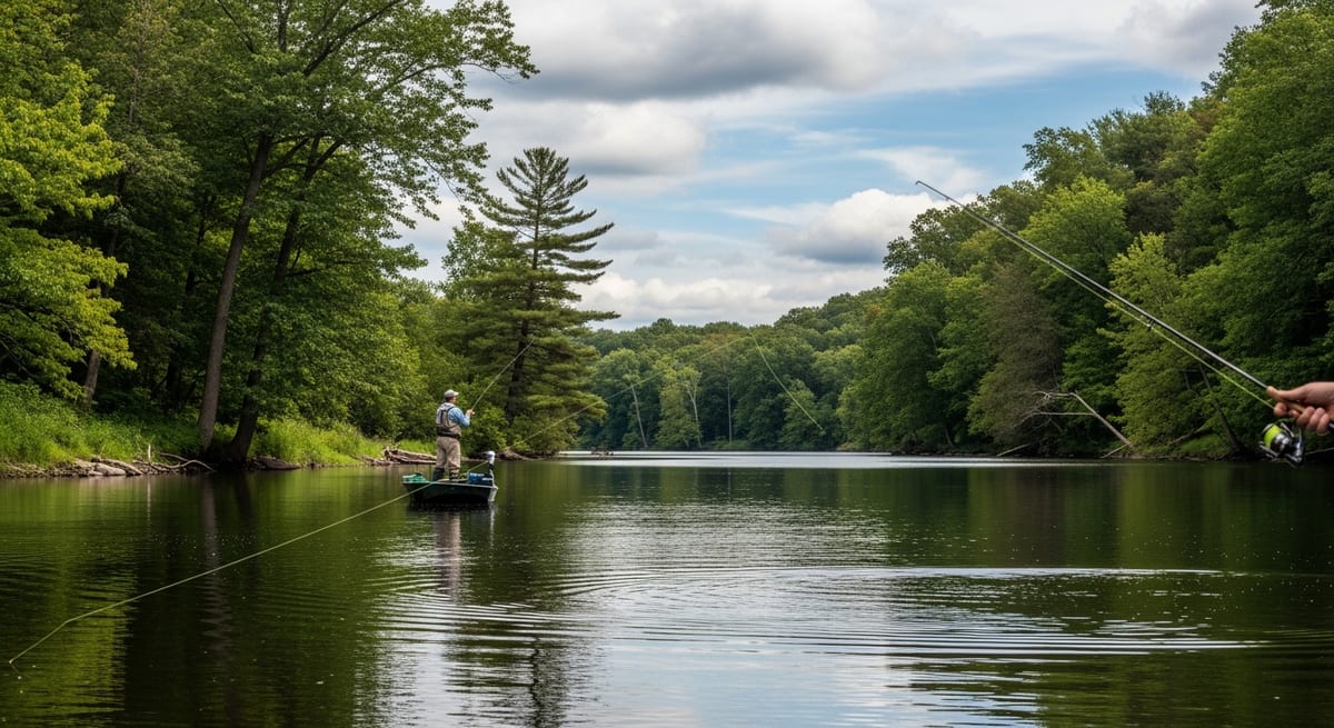
Tracing river access: For river fishing, trace the river in satellite view to identify pools, riffles, and public land boundaries. Public land (state forests, state parks, wildlife management areas) is typically marked in green on standard map view. Where public land touches the river bank = legal access.
Measuring distances: Use the measurement tool to estimate how far a wade from a parking area to a productive run might be — useful for planning.
USGS StreamStats and Water Data
The US Geological Survey operates stream gauges on most major rivers in Connecticut. This data is free and updated every 15–30 minutes.
USGS WaterWatch (waterwatch.usgs.gov): National map showing current stream flow as a percentage of normal for each gauged location. At a glance, you can see which rivers are running high, low, or normal. Fishing in a river running 300% of normal flow is unproductive; at 50% of normal summer flows is often excellent.
What the numbers mean for fishing:
- High flow (above normal): Water is murky, current is heavy, difficult to fish most techniques. River fish shelter in eddies.
- Normal flow: Standard conditions, best all-around fishing.
- Low flow (well below normal): In late summer, low water concentrates fish in pools. Easy to read the river; fish are visible. This is often the best river bass and trout fishing of the year.
River temperatures: Some gauges also report water temperature. Trout are most active at 50–65°F; below 40°F, they're sluggish. Above 68°F, trout experience thermal stress in shallow water.
Fishing Apps and Community Reports
Fishbrain: A social fishing app where anglers log catches with location data. Searching a specific lake or river shows recent catch reports, species caught, and sometimes lure/technique information. Useful for confirming what's currently biting and where. The data quality varies by location — popular waters have many reports; less-known water bodies have few.
Navionics: A premium mapping app ($15/year) with bathymetric (depth contour) maps of thousands of lakes. The depth contours show you where the drop-offs, points, humps, and channels are before you get on the water. Worth the subscription if you boat fish regularly.
onX Maps: Originally a hunting app, onX now has a fishing tier with land ownership overlays that show exactly which parcels are public vs. private. Essential for legally identifying river access points where public and private land intermix.
CT Fishing on Facebook: Multiple Connecticut fishing Facebook groups where local anglers post reports, photos, and current conditions. The CT Fishing Reports group is particularly active during season. Reports are anecdotal but real-time — someone posting a striper catch from a specific beach today is more current than any published report.
Tides and weather apps: Tide charts are essential for saltwater planning. NOAA Tides & Currents (tidesandcurrents.noaa.gov) is the most authoritative source. For weather, the National Weather Service marine forecast (weather.gov) includes wave height, wind, and conditions specifically for saltwater use.
EVERY SATURDAY MORNING
Weekly fishing intelligence
Nationwide conditions, what's biting, and honest gear deals. One email, no noise.
No spam. Unsubscribe anytime.