
Your Fish Finder's Most Useful Signal Isn't the Fish Arch. What CT Anglers Watch for on Long Island Sound, the CT River Channel, and Candlewood's Humps.
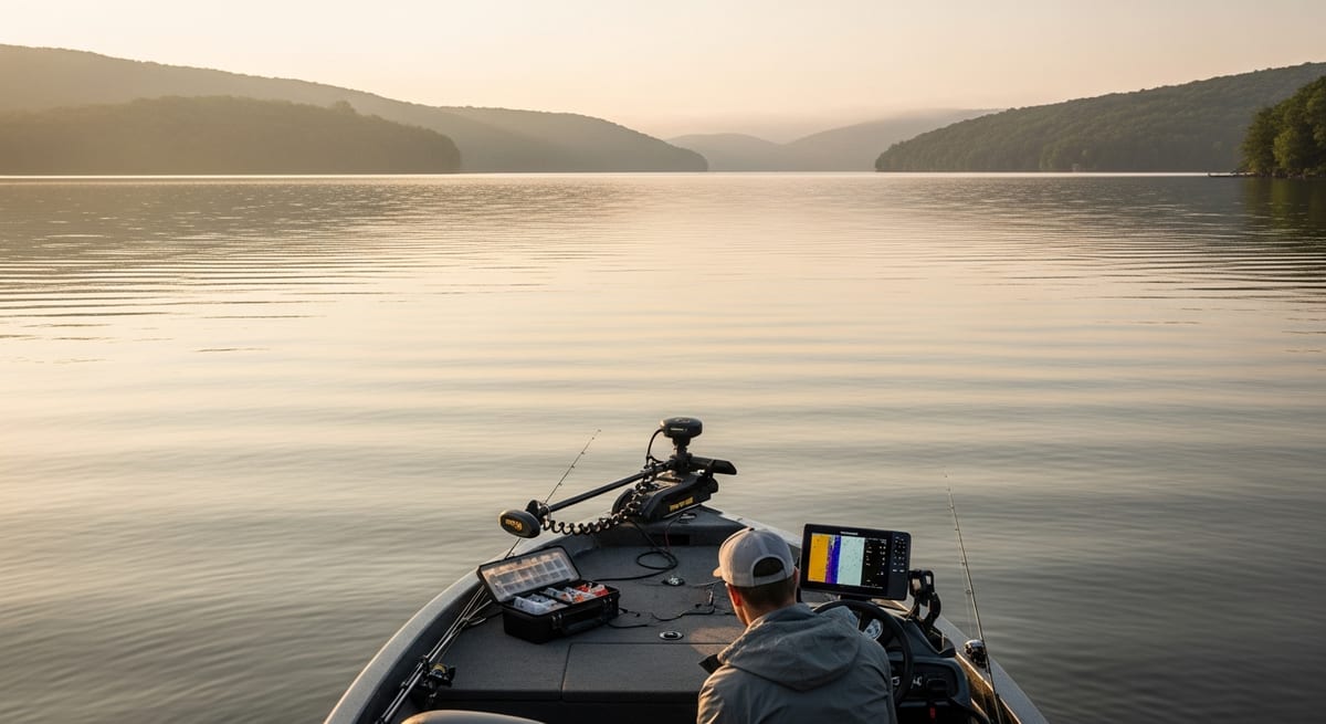
Anglers running the CT River channel edges between Essex and Deep River consistently mark baitfish clouds at 15-25 feet in mid-summer, and the stripers following them often read as scattered half-arches just below that cloud, not the clean arches most beginners expect. If you're watching the screen waiting for a textbook arch, you're likely looking past the signal. The returns that matter most, bottom contour, bait density, depth transitions, are on every pass. What follows breaks down what each means, with examples drawn from the water CT boaters actually fish.
What Sonar Is Showing You, and Why Boat Speed Changes the Picture
Sonar pings leave a transducer on your hull, bounce off whatever sits below, bottom, fish, structure, baitfish, and return to the unit, which calculates depth from travel time and draws a scrolling history on screen. The right side of the display is the most recent pass; left is older.
The screen is a historical record of what sat below the transducer as you moved. It is not forward-looking. Moving faster compresses the image; slowing down spreads it out and gives a more accurate bottom picture. Anglers who idle over a Candlewood Lake hump or a CT River channel edge at 2-3 mph before anchoring report significantly more readable returns than those who roll over at trolling speed.
The unit doesn't tell you fish are at a given spot right now. It tells you fish, bait, or structure were there when you passed over. Drift, tidal movement, and fish behavior all happen in the gap between your pass and your drop.
Reading the Bottom: Hard, Soft, and What It Means on CT Waters
The heavy line across the bottom of the screen is the bottom return. Its thickness and density reflect bottom hardness:
Thick, dense bottom line: Hard bottom, rock, gravel, shell hash. On Long Island Sound, this shows up along the boulder shorelines from Waterford to Stonington and over the reef structure off Niantic Bay. Hard bottom holds bait and draws predators.
Thin bottom line: Soft bottom, mud, sand, silt. Common in the upper CT River and the backs of Sound coves. Less productive for holding stripers and bluefish in current, though fluke will work soft bottom near channel edges.
Double bottom return: Often signals extremely hard surface. The ping bounces twice. Exposed rock ledge on the Sound produces this. Dense aquatic vegetation in freshwater can show a similar signature.
The shape of the bottom line reveals contour. When it rises, the bottom shallows; when it drops, you're moving into deeper water. This is how anglers identify the mid-lake humps on Candlewood, the channel drop at Salmon Cove on the CT River near East Haddam, and the reef edges off Rocky Neck State Park. The structural transitions where fish concentrate.
Where the Bait Is: Clouds, Columns, and What Follows Them
Dense baitfish schools don't show as individual arches. They appear as thick clouds or columns suspended in the water column. Locating bait is often more productive than scanning for predators directly.
On Long Island Sound in summer, bay anchovies and bunker (menhaden) schools are what CT striper and bluefish captains mark first. The pattern reported consistently by Sound kayak anglers and small-boat regulars is straightforward: find a dense bait cloud in the 10-20 foot range, look for scattered larger returns beneath or around it, and fish that depth. Stripers below a bait cloud on the eastern Sound will often run keeper size, check current CT DEEP striper slot and bag limit regulations before keeping fish, as these change season to season.
In freshwater, the same logic applies with different species. Candlewood Lake smallmouth and largemouth stack below suspended alewife schools in summer, particularly over mid-lake humps. Walleye on Candlewood, which community reports place peaking near dawn in April, hold similar baitfish positioning in the lower water column, though their season and depth preference differ from the summer bass fishery.
Sparse "rain" returns throughout the water column, diffuse dots or fine particles, typically indicate zooplankton or very small juvenile baitfish. This plankton layer at a consistent depth is a clue about where forage fish will concentrate and, in turn, where predators will stage.
On the Sound, pairing bait location with tidal timing sharpens the picture considerably. The ebb moving bait out of tidal river mouths like the Niantic and Mystic Rivers is the staging trigger most local striper anglers watch for.
Fish Arches, and When They Come Back as Half-Arches or Blobs
Fish appear as arches on traditional 2D sonar because the sonar cone sweeps past a stationary target. The fish enters the cone edge (thin return), crosses the center (widest, strongest return), then exits the other side. A full arch means the fish held position while you moved over it.
In practice, most returns are half-arches or irregular blobs. A fish that moved, or was near the cone edge, won't produce a clean arch, but it's still a fish. A series of returns at a consistent depth across multiple passes is a more reliable signal than one clean arch on a single run.
Where in the water column those returns sit matters for species identification:
Returns near the bottom in 15-30 feet of CT River water in summer are often schooled-up white perch or undersized stripers. Returns suspended in midwater on the Sound, especially just beneath a bait cloud, lean toward larger stripers or bluefish. Returns within 5-8 feet of the surface in calm morning conditions typically indicate fish pushing bait up from below.
Anglers fishing the Thames River and Niantic Bay report that marking fish returns near the bottom during a dropping tide, then repositioning and presenting a lure rather than dropping mid-drift, produces far more consistent contact than trying to hit marks from a moving boat.
Dialing In Your Unit for CT Conditions
Sensitivity/Gain: Controls how much return signal the unit processes. In the shallow, structure-cluttered waters of the upper CT River or tidal coves, many anglers back sensitivity off from auto to reduce noise. On the open Sound in 40-60 feet of water, bumping sensitivity up catches mid-column bait that auto settings sometimes filter out.
Range: Set your depth range slightly deeper than the actual bottom so the full water column is visible. For the 15-40 foot range typical of CT Sound fishing, a 50-foot range setting keeps the bottom on screen while showing suspended bait activity above it.
Scroll speed: Faster scroll spreads returns across the display and adds detail at low boat speeds. When idling over a Candlewood hump or a CT River channel edge, increasing scroll speed compensates for reduced boat movement and makes contour changes more readable.
Frequency: Dual-beam units, humminbird's common 83/200 kHz pairing, for example, offer wider and narrower cone angles at different frequency settings. Other manufacturers (Lowrance, Garmin, Raymarine) use different frequency combinations, so the right setting depends on your specific unit's documentation rather than any universal rule. As a general tendency, lower-frequency settings penetrate better in deeper open-water Sound fishing; higher frequencies give finer target separation in shallower water.
CHIRP sonar, now standard across a wide range of units including many models under $200, transmits a sweep of frequencies rather than a single pulse. The result is cleaner target separation. Fish returns stand apart from structure more distinctly. On the boulder-and-reef mixed bottom off Waterford or the submerged timber on Candlewood, CHIRP mode typically outperforms legacy single-frequency settings for reading what's fish versus what's structure.
EVERY SATURDAY MORNING
Weekly fishing intelligence
Nationwide conditions, what's biting, and honest gear deals. One email, no noise.
No spam. Unsubscribe anytime.