How to Read Water: Finding Fish Without a Fish Finder
Before you make your first cast, you should know where the fish are. Experienced anglers look at a stretch of river or a lake cove and see the fish — not with a fish finder, but by reading the physical features of the water. This skill, more than tackle or technique, is what separates consistent anglers from occasional ones.
Why Fish Go Where They Go
Fish aren't randomly distributed through the water. They position themselves based on four needs: food, oxygen, comfort (temperature), and safety from predators. Every piece of structure and current pattern relates to one or more of these needs.
In rivers, current is the organizing principle. Fish face into current (they orient upstream) and position themselves where they can hold with minimal energy while food drifts to them. The key is finding spots where this is easy — current breaks, eddies, seams between fast and slow water.
In lakes, temperature and structure organize fish. Bass and trout have preferred temperature ranges. They relate to hard structure (rocks, wood, docks) that concentrates baitfish and provides cover. In summer, thermoclines (the boundary between warm surface water and cooler deep water) are highways for many species.
In tidal water, current and tide dictate position. Fish move with the tide, using current-created rips and bait concentrations.
Reading Rivers and Streams
The seam: Where fast water meets slow water is the most productive position in a river. Fish hold in the slow water just at the edge of current where food drifts by without requiring them to fight the flow. Look for visible seams — color changes, surface foam lines, the edge of ripples.
Eddies: The swirling water behind boulders and other obstructions. Food collects here in a circular current. Bass, trout, and walleye all hold in eddies. Fish the eddy itself, but also the seam where the eddy meets the main current.
The head of a pool: Where fast water dumps into a deeper, slower pool. This is where food enters the pool and where active feeding fish wait. The first few feet at the upstream end of a pool are often the most productive.
The tail of a pool: Where the water shallows and speeds back up before a riffle. Fish hold here in the evening, especially trout in evening feeding mode, picking off insects drifting off the riffle.
Undercut banks: Eroded riverbanks that create deep, shady water along the edge. Often overlooked. Large trout and bass hold tight under bank cover — cast close and be prepared for an immediate strike.
Current breaks behind rocks: Even a rock not visible from the surface creates a soft water zone downstream. In clear water, you can see the hydraulic change. In murky water, look for subtle surface disturbances.
Reading Lakes and Ponds
Points: Underwater points extend further than the visible land feature. Fish use them as travel routes between deep and shallow water. A point that visually juts 20 feet into the lake may extend 50 feet underwater. The tip of that underwater point concentrates fish.
Drop-offs: Where shallow gradually changes to deep is a transition zone where fish stage. Bass and walleye often cruise the edge of a drop-off. The steeper the drop, the more precisely fish relate to the edge.
Weed lines: The outside edge of aquatic vegetation is one of the most reliable fish-holding features in a lake. Predators ambush baitfish in the cover; baitfish are there for the food that vegetation provides. Fish parallel to the outside edge.
Wood structure: Submerged trees, fallen logs, and brush piles hold bass and pike. Old lake maps sometimes show where timber was left when reservoirs were impounded — those areas are worth investigating.
Channels in reservoirs: Old riverbeds that were flooded when the reservoir was created maintain their depth. These channels are bass highways — fish relate to them the same way they would to a river bank underwater.
Inlet streams: Where a cold stream enters a lake is an oxygen and temperature preference zone. In summer, trout and bass stack near cold water inflows. In spring, spawning fish use inlets.
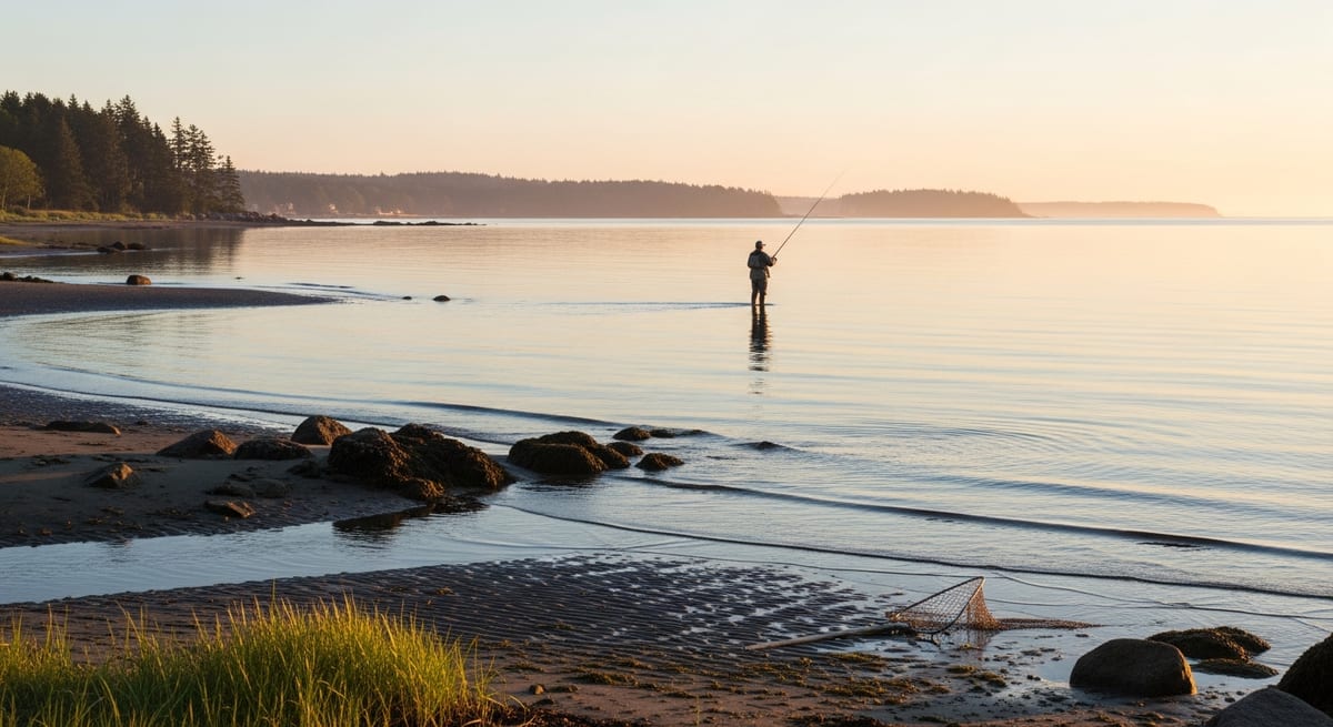
Reading Tidal and Saltwater Areas
Rips and current breaks: Where tidal current hits a bar, point, or reef and creates turbulence. Baitfish get disoriented in rips; predators line up on the edges to intercept them. Visible surface disturbance often marks a productive rip.
Inlets and creek mouths: Tidal current focuses bait moving in and out of estuaries. The eddies flanking the current line at an inlet are classic striper and fluke territory.
Drop-offs near flats: Sandy flats adjacent to deep water are feeding areas at high tide — fluke and bass push up onto flats to feed. On the outgoing tide, they hold at the edge of the drop-off as bait washes off the flat.
Points in tidal rivers: Same principle as freshwater — points create current deflections and hold fish. In a tidal river, the productive position shifts as the tide changes direction.
Grass edges in back bays: Spartina grass marshes hold enormous populations of baitfish and crustaceans. The edges where grass meets open water are prime striper, snapper blue, and weakfish territory at high tide.
EVERY SATURDAY MORNING
Weekly fishing intelligence
Nationwide conditions, what's biting, and honest gear deals. One email, no noise.
No spam. Unsubscribe anytime.